Mount Everest, Lhotse & Ama Dablam - Khumjung, Koshi Province, Nepal



The world’s highest mountain has three names, and none of the local ones mean “Everest.” Nepalis call it Sagarmatha, often translated as “forehead of the sky.” To Tibetans it’s Chomolungma, “goddess mother of the world.” The English name came in 1865, when it was named after George Everest, the surveyor who had led the mapping of India.
Its height has been argued over for more than 150 years. The current official figure is 8,848.86 m (29,031.7 ft), agreed by Nepal and China after a joint survey in 2020. Next door, Lhotse simply means “South Peak” in Tibetan. It’s joined to Everest by the South Col and is the fourth-highest mountain on Earth.
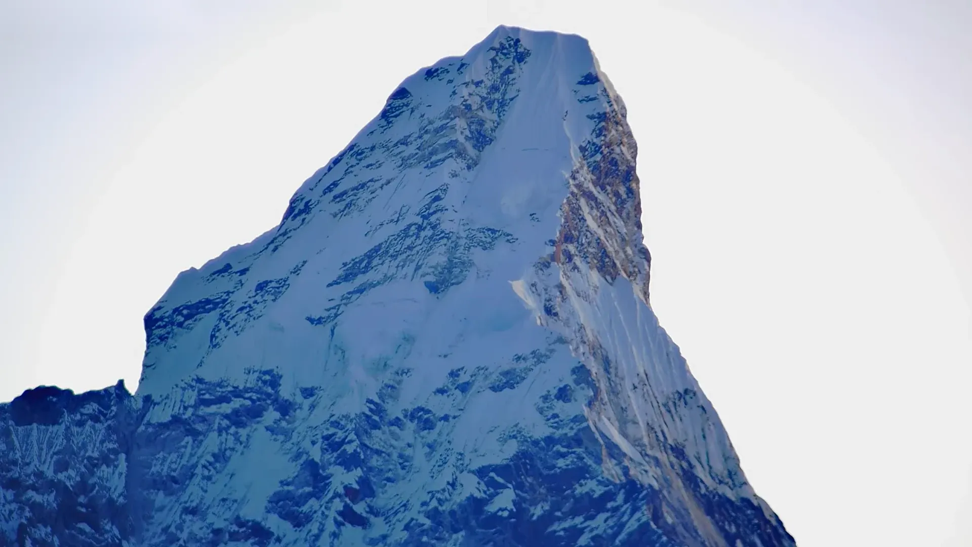
The sharp peak standing apart is Ama Dablam, “mother’s necklace.” Its long ridges are said to be a mother’s arms protecting her child. The hanging glacier is the dablam, a pendant Sherpa women traditionally wear holding images of the gods.
Did You Know? Ama Dablam held out longer than its giant neighbors. Everest was climbed in 1953, Cho Oyu in 1954 and Lhotse in 1956, but nobody reached Ama Dablam’s summit until 1961.
See more live mountain cams, explore the Landscapes collection, browse live webcams in Nepal, or explore our Live Webcam Map.
Featured in: How Much of the Ocean Has Been Explored?
location_on Mount Everest, Khumjung, Koshi Province, Nepal